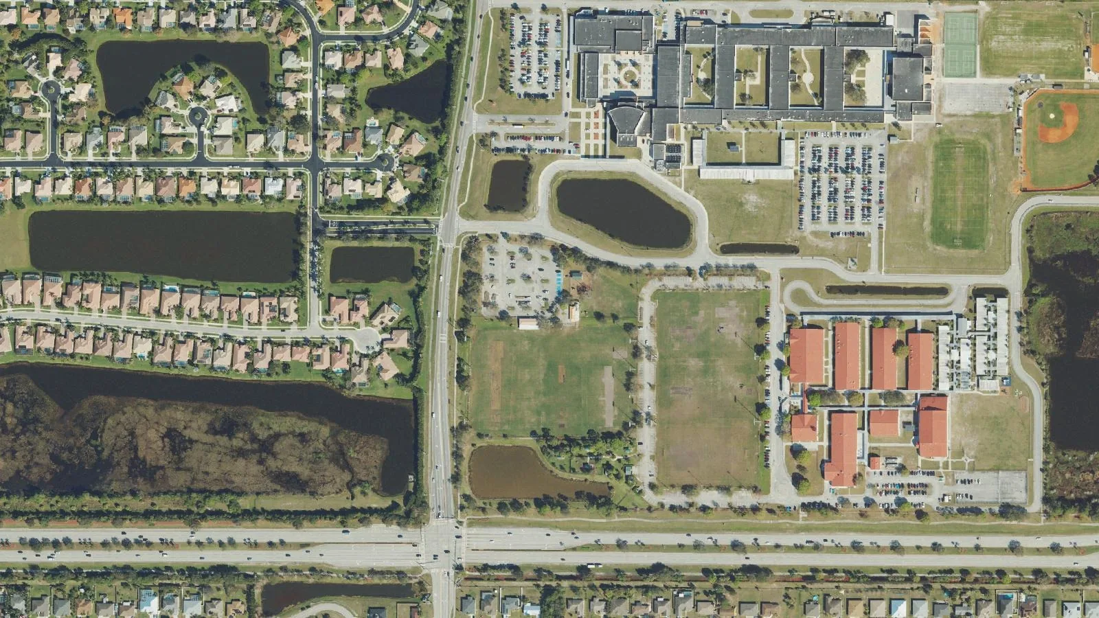
St. Lucie West has about 7,100 homes between I-95 and Florida's Turnpike in ZIP code 34986, all zoned for St. Lucie West Centennial High.
Last checked Oct. 10, 2026. Sources: the City of Port St. Lucie’s neighborhood map, parcel layer and parks list, St. Lucie Public Schools’ school locator, the Florida Department of Education’s 2026 school grades, the Zillow Home Value Index (Zillow Research) and © OpenStreetMap contributors.
St. Lucie West is Planning Area 8 on the City of Port St. Lucie’s neighborhood map, a block of about 7.3 square miles in the middle of the city between Interstate 95 and Florida’s Turnpike. The city’s parcel layer counts about 7,100 homes there: 6,210 single-family houses and 870 condominium units, all in ZIP code 34986.
What this means for you
- High school: St. Lucie West Centennial High, for every address we checked. State grade B for 2026.
- Home value: $372,418 in ZIP code 34986 in August 2026, according to the Zillow Home Value Index.
- Nearest highway exit: I-95 exit 121 (St. Lucie West Boulevard), about 1.7 miles by road from the middle of the area.
Part of our Port St. Lucie neighborhoods guide.
Where it is
On the city’s map, St. Lucie West runs from Crosstown Parkway on the south to the city’s northern neighborhoods, with I-95 on its west side and Florida’s Turnpike on its east side. St. Lucie West Boulevard crosses it east to west from the I-95 interchange, and Peacock Boulevard, Cashmere Boulevard, California Boulevard and Heatherwood Boulevard carry most local traffic. Clover Park, the New York Mets’ spring training ballpark, is at 31 Piazza Drive in ZIP code 34986; see our Mets spring training guide.
Schools
St. Lucie Public Schools’ locator shows a zoned high school for each address. For the 160 St. Lucie West homes we checked, picked at random from the city’s parcel layer, every one was zoned for St. Lucie West Centennial High. Elementary, K-8 and middle school places go through the district’s Student Assignment application.
Public schools inside the area, with Florida’s grades:
| School | Address | 2026 grade | 2025 grade |
|---|---|---|---|
| St. Lucie West Centennial High | 1485 SW Cashmere Blvd. | B | B |
| St. Lucie West K-8 | 1501 SW Cashmere Blvd. | B | A |
| West Gate K-8 | 1050 NW Cashmere Blvd. | B | A |
| Manatee Academy K-8 | 1450 SW Heatherwood Blvd. | B | B |
Three charter schools also have St. Lucie West addresses in the federal school directory: Renaissance Charter School of St. Lucie (A for 2026), Somerset College Preparatory Academy (A) and Somerset Academy Bethany (B). Check an exact address on the school locator, and see our schools guide for every school in the city.
Home values
The typical home value in ZIP code 34986 was $372,418 in August 2026, down 3.0% from $384,000 in August 2025. Zillow’s figure for Port St. Lucie as a whole was $384,593, down 1.3%. The Zillow Home Value Index is a modeled typical value for the middle third of homes, single-family houses and condos together, not a sale price. ZIP code 34986 also covers Torino and part of Verano, so the figure is not for St. Lucie West alone. More in our home prices guide.
Parks and trails
From the city’s parks list:
- McChesney Park & Dog Park, 1585 SW Cashmere Blvd., next to the St. Lucie West school campus.
Winterlakes Park in Torino and Jaycee Park and Swan Park on the Bayshore side are the nearest other city parks. More in our parks and trails guide.
Getting around
- I-95: exit 121 (St. Lucie West Boulevard), about 1.7 miles by road; exit 120 (Crosstown Parkway), about 3.3 miles.
- Florida’s Turnpike: exit 142 (Port St. Lucie), about 4.6 miles.
- City Hall (121 SW Port St. Lucie Blvd.): about 5.2 miles.
- President Donald J. Trump International Airport (PBI), the former Palm Beach International: about 52 miles.
These are distances on the OpenStreetMap road network, measured with the OSRM routing engine from a home near the middle of the area, not drive times. St. Lucie County’s fare-free Area Regional Transit buses serve the city; routes and stops are on the county’s page. More in our getting around guide.
Groceries and everyday stores
OpenStreetMap lists a cluster of stores on St. Lucie West Boulevard near I-95: Publix at 1537 NW St. Lucie West Blvd., about 0.6 mile by road from the middle of the area, Walmart Neighborhood Market at 902 SW St. Lucie West Blvd., ALDI at 770 SW St. Lucie West Blvd., Walmart Supercenter at 1675 NW St. Lucie West Blvd., Sprouts Farmers Market at 1759 NW St. Lucie West Blvd. and a Walgreens at 692 SW Prima Vista Blvd.
How we drew this area
This page follows the St. Lucie West boundary (Planning Area 8) on the City of Port St. Lucie’s neighborhood map. Home counts and ZIP codes come from the city’s parcel layer on Oct. 10, 2026: parcels with a state land use code for a single-family house or a condominium unit. A random sample of those homes was checked against the district’s school locator. Store locations and road distances use © OpenStreetMap contributors.
Frequently asked questions
What high school is St. Lucie West zoned for?
St. Lucie West Centennial High, 1485 SW Cashmere Blvd., for every St. Lucie West address we checked on the district’s school locator. The state graded it B for 2026.
What ZIP code is St. Lucie West in?
- The typical home value in 34986 was $372,418 in August 2026, down 3.0% in a year, according to the Zillow Home Value Index.
Is St. Lucie West a good place to live?
Here are the facts. St. Lucie West has about 7,100 homes, 12% of them condominiums, and the I-95 interchange at exit 121. It is zoned for St. Lucie West Centennial High, graded B for 2026, and the typical home value in 34986 was $372,418 in August 2026, according to Zillow.
What I-95 exit is St. Lucie West?
Exit 121, St. Lucie West Boulevard. Exit 120, Crosstown Parkway, is on the area’s southwest corner.
Have your say