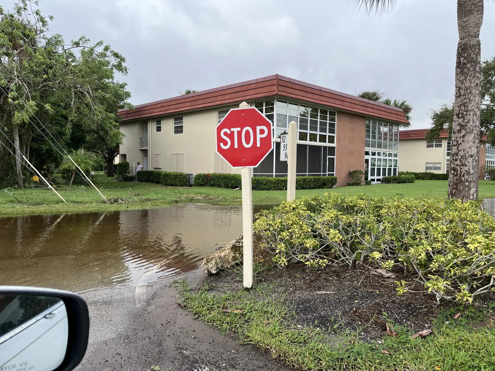
Radar shows 3 to 7 inches of rain fell on St. Lucie County Sunday. A flood watch runs to 3 p.m. Monday, with up to 2 more inches tonight and storms likely Tuesday.
Between 3 and 7 inches of rain fell across St. Lucie County on Sunday, and more is on the way. A Flood Watch for the county runs until 3 p.m. Monday.
The National Weather Service in Melbourne gave the totals in a Flood Advisory issued at 7:03 p.m. Sunday. They are Doppler radar estimates. The advisory said locally higher amounts had fallen in western St. Lucie County, and it named Port St. Lucie and Fort Pierce among the places where minor flooding of low-lying and poorly drained areas was ongoing or expected.
It was the fifth Flood Advisory covering part of the county since Sunday morning. Forecasters expected another 1 to 2 inches over the area.
What the forecast says
The weather service’s forecast for Port St. Lucie, as of Sunday evening:
| When | Chance of rain | New rain possible |
|---|---|---|
| Sunday night | 80% | 1 to 2 inches |
| Monday | 80% | three-quarters of an inch to 1 inch |
| Monday night | 60% | a quarter to half an inch |
| Tuesday, Election Day | 70% | not given |
Gusts could reach 25 mph through Tuesday. Drier air should arrive late in the week, the forecasters said, dropping the rain chance to 20% or less by the weekend.
Why the watch is up
The Flood Watch covers inland and coastal St. Lucie County, along with Brevard, Indian River and Martin counties. A disturbance from the Gulf is moving over the Florida peninsula into very moist air.
“The ground is nearly saturated, especially along the Treasure Coast urban corridor,” the weather service said. It forecast widespread totals of 1 to 3 inches, with localized amounts of 5 inches or more that could cause flash flooding.
In the area forecast discussion issued at 3:27 p.m. Sunday, forecasters said some spots could reach 5 to 8 inches through Monday night. They put the chance of more than 10 inches at very low.
That is what fell in the city of Okeechobee, about 27 miles west. The discussion said 6 to 7 inches fell there in three to four hours Sunday, with one gauge reaching 8 inches. Law enforcement reported parts of State Road 70 and U.S. 441 in Okeechobee impassable, and water entering buildings, according to the weather service’s storm report. We have seen no report of the same in St. Lucie County.
On the coast
Three more alerts cover coastal St. Lucie and coastal Martin counties, according to the weather service’s coastal hazard message issued at 2:57 p.m. Sunday:
- Coastal Flood Advisory until 7 p.m. Monday, for minor flooding of low-lying lots, parks and roads near the shoreline
- High Surf Advisory until 7 p.m. Monday, for breaking waves of 5 to 7 feet
- High rip current risk through late Tuesday night
Forecasters said the coastal flooding is most likely near and south of the St. Lucie Inlet, around the afternoon high tides. Heavy rain at high tide can make it worse, because water drains more slowly into tidal waterways. “Please remain out of the ocean!” the discussion said.
Three river gauges were at action stage Sunday evening, the level at which agencies start preparing to respond, according to NOAA’s National Water Prediction Service:
- Indian River at Ankona, south of Fort Pierce: 1.52 feet above the average high tide line
- Indian River at Jensen Beach, in Martin County: 1.65 feet
- St. Lucie River near Stuart, in Martin County: 1.62 feet
What it means for you
- Do not drive through standing water. Turn around if you cannot see the road surface.
- Allow extra time Monday morning. The heaviest rain is forecast before 1 p.m.
- Plan your vote around the weather. Polls are open 7 a.m. to 7 p.m. Tuesday, and storms are likely. Our voting guide has polling place and mail ballot details.
- Stay out of the ocean through Tuesday night.
- If your street floods often, our story on the Oak Hammock drainage plan covers the city’s stormwater fee and the projects it plans to fund.
Road closures go on our road construction and closures page, and our power outages page has the FPL outage map. The hurricane prep guide lists the county emergency contacts.
Have your say